
See the route map below, I drew a 200 km long Heart at the Heart of Kerala in my bike.
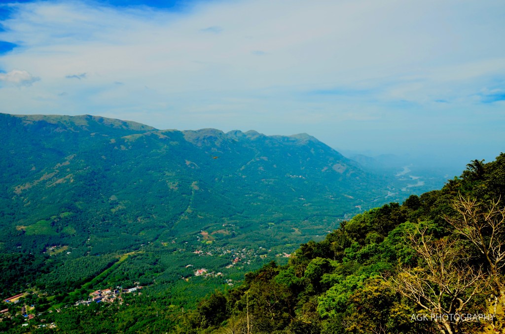
First headed towards Idukki from Pala. Stopped at Nadukani view point to see the breathtaking view of Moolamattom town. From the view point you can see the town as a valley between two mountains. The mountain range at the opposite side is Vagamon area. I have this image captured from there (see full post). Towards left side is the Idukki reservoir. This is where Kerala’s largest hydro-electrical project is situated. The power station in Moolamattom can be seen in the picture below.

Water from the reservoir flows towards west (right side in the picture below) to reach Malankara dam. From there it forms Thodupuzha river which joins Kaliyar river at Moovattupuzha to form Moovattupuzha river. It then reaches Vembanadu Lake which joins Arabian sea.
From Idukki I drove further towards Kattapana instead of taking a U turn and coming back. Thought of going to Ramakkalmedu from there, but kept it for next time. Straight to Kuttikanam and then to Pala via Kanjirapally. Sky was clear and clouds were beautiful at Kuttikanam
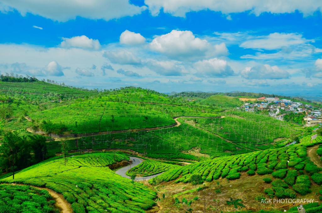
Kuttikanam 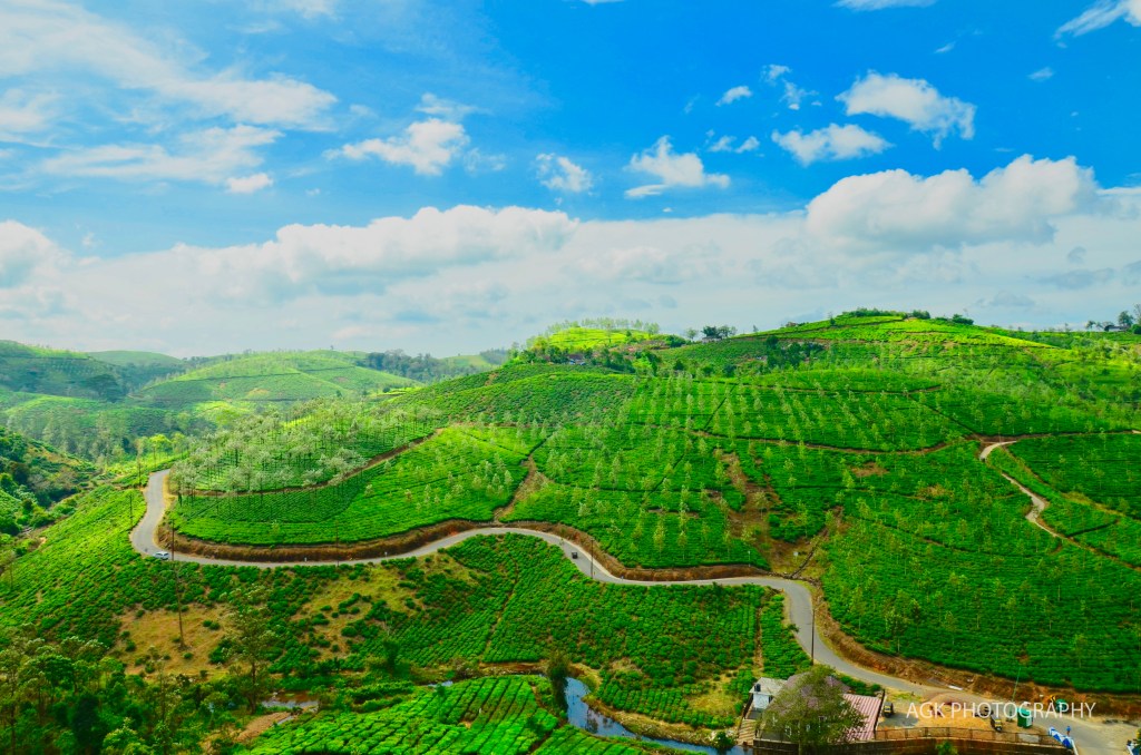
Kuttikanam-Vagamon road
Discover more from Anil G Kurian
Subscribe to get the latest posts sent to your email.
